The loop around Mt Jagungal together with bagging the peak (Australia's seventh highest, 2050 metres) was a hike I had long wanted to do but never got round to. This was a real shame since the whole northern part of Kosciusko National Park was devastated by fire last summer and the Jagungal area was closed for months afterwards so the hike was out of the question. Now I finally had a chance to go there.
As it happens the severe fire damage in this part of the Jagungal Wilderness dates mostly from the 2003 bushfires rather than the 2020 fires. New snow gums have grown near the burnt ones in some but not all areas so large swathes of bare white snow gum trunks and branches are everywhere.
Feb 22 I drove to Round Mountain trailhead and walked 2 kms to Round Mountain hut, which is ruined and only a fireplace remains. The hillsides were covered with charred snow gums from the 2020 fires. I could see Mt Jagungal (and the long saddle adjacent) from the campsite, looming large, 11 kms away and 19 kms by track. This mountain is just so much higher than anything around it.

Feb 23 This was a long day. It was a cloudy and cold morning and I thought I should have brought gloves and rain pants. For some reason I had checked the weather forecast for Tumbarumba rather than for Jagungal! I walked in all my clothes. I made the long descent on Farm Ridge track to the Tumut River, surrounded by yellow grasses, and had to wade the river - it wasn’t wide but had a surprisingly strong current. 

Farm Ridge was maybe the best of the day's walking as there was little sign of fires, lots of leafy snow gums and green grass. But the mist was swirling so I had limited views. I joined Grey Mare trail and soon had to wade a creek, just as my feet had got dry, then stopped for coffee and while sitting there the sun tried to come out. 

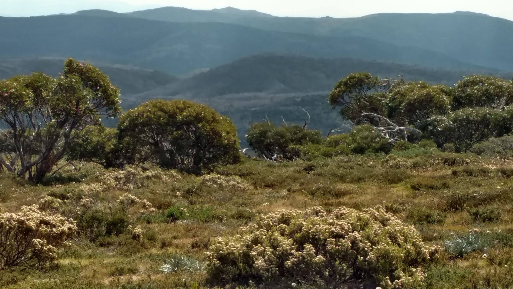
I continued to O'Keefe's hut which had a nice smell of timber inside and walls covered with newspaper pages from 1930s and 40s. When I left the sun was shining. Almost immediately I had good views of Mt Jagungal and masses of skeleton snow gums from the 2003 fires. 

The turnoff to the summit was marked by a cairn but no sign so I hoped it would remain clear where to go. I did not know at that time that there is no cut trail to the summit, just a worn route. I had a short bit over grass and crossing the headwaters of the Tumut River twice, now easy to jump over, then went into ti-tree. This was dense and got up to shoulder height; for many stretches I couldn't see the track at eye level, could only feel for it with my feet. (The ti-tree was so dense that I couldn't have got through it if there wasn't a trail.) 

I emerged to snow gums, both skeleton and alive, and startled a little snake, who couldn't decide which way to go. I thought the last part would be a scramble but the route remained on grass until a few rocks right at the summit. I was having a race to beat the incoming clouds on the final pinch. 

The summit was a mass of boulders and it was windy. I had fairly extensive views in all directions of alpine moorland and countless peaks but sadly the landscape is blighted by the vast number of patches of skeleton snow gums; it looks like there are grey boulders dotting the mountainsides but looking more closely these are dead trees.

I did the final few kms to Derschkos hut on flat Round Mountain fire trail. This hut was in a valley and the damage from the 2003 fires was well hidden by new growth. It is a Snowy Mountains Scheme research hut rather than a cattlemen’s hut. I camped beside the hut and ate inside because it was cold. The hut is at 1620 metres. 26 kms

Feb 24 It was a beautiful clear night, very cold and in the morning there was frost on the grass around the tent and on my shoes. The Tumbarumba forecast had said zero chance of frost. I wasn’t too cold once I got going. I came into a large valley, rounded hills all around, lots of wildflowers.

The track undulated, with some serious climbs, and the creeks almost all had bridges; this track is obviously used by vehicles in preference to the one on yesterday's side.

In the last 5 kms I came back to the recently burnt part. I passed Round Mountain which was very burnt. My final creek crossing was a tributary of the Tumut River, with a makeshift sheet of iron for a bridge and a lizard resting on it, who just looked at me and didn't move. I had been able to look behind me and see Mt Jagungal almost the entire way back.
My car was still alone in the car park. 14 kms today, 42.3 kms for the loop. My verdict: this was a good walk and I am pleased I have finally done it. I can only imagine how great it would have been prior to 2003.
No comments:
Post a Comment