Feb 13 I had a snack in Tumbarumba then parked by Mannus Creek to start my 2 day hike to Lankeys Creek. I would then have to walk the return back to my car. Beyond the Lankeys Creek campsite the track is closed from last year's fires. I walked 12.8 kms to Mundaroo campsite mainly on hilly logging roads, passing cleared and uncleared pine plantations. The campsite was a pleasant surprise as it was a clearing in native forest by a tiny creek, and there were lots of tiny birds.
Feb 14 Next day brought much better walking, in forest and crossing several creeks, then along a fence between native forest and pines. I saw an echidna which immediately ran and hid
then a big brown snake. I had seen quite a number of kangaroos jumping off into the bush. There was some blackberry but this time I didn't mind because the plants were full of fruit. I stopped in the pine forest for coffee and went on, but after a while I realised I was going completely the wrong way and I had to backtrack to a brand spanking new stile I had missed.
I climbed in dry forest onto a ridge
with amazing views down onto farmland, the Carboona Gap, and to mountains in the distance.
But then I emerged to dry grassland full of thistles. These thistles were dead but dead thistles are extremely prickly. I went downhill to greener pasture with lots black cows, curious about me. I had to wade Copabella Creek
and crossed more forest to Lankeys Creek.
The route followed this creek on river flats. It had become very hot and I was exhausted as I trudged through paddocks (although the river flats were very beautiful) then had 3.5 kms of road to finish the day. A guy pulled up in his car and asked if I was going to the campsite and said he would visit later as he lived close. This was odd. He was surprised to hear I had camped there before without his knowledge - that was the night I came from Melbourne - and I soon realised the campsite is on his land. And he has a camel trekking business.
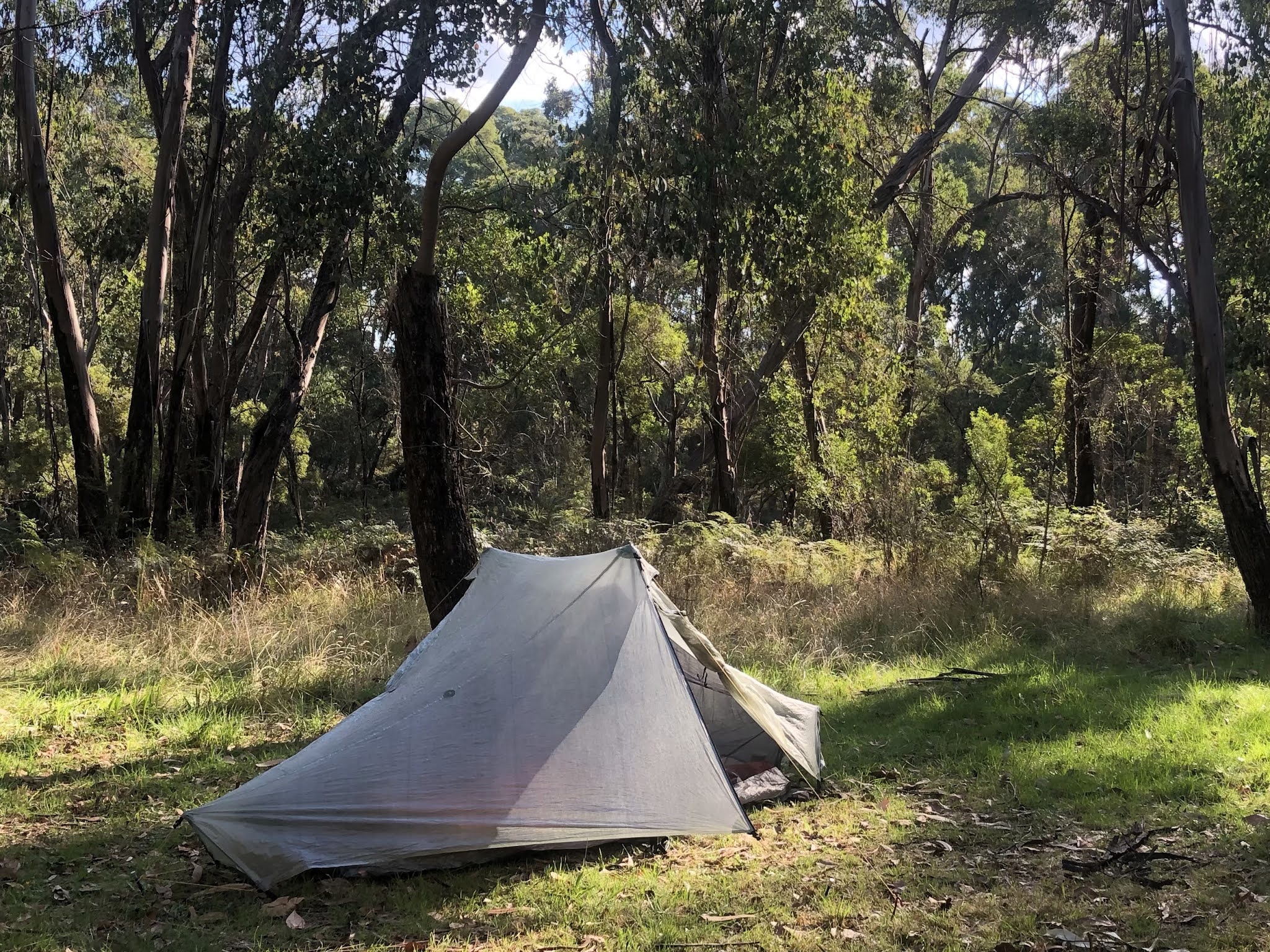
I cooled my feet in the creek after just under 30 kms and had a great starry night.
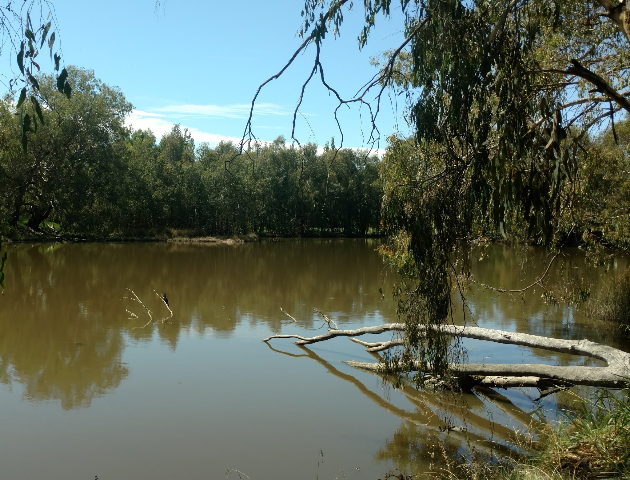
Feb 15 The next morning the camel guy drove me back to my car which was great and saved me 2 days of walking. Then I did an out and back on the 5.5 kms section of track between Mannus Creek and Mannus Lake. I had my final blackberries of the trail. There were pelicans on the lake. I made a cup of coffee with lake water before seeing a sign warning about toxic algae and saying not to drink this water.
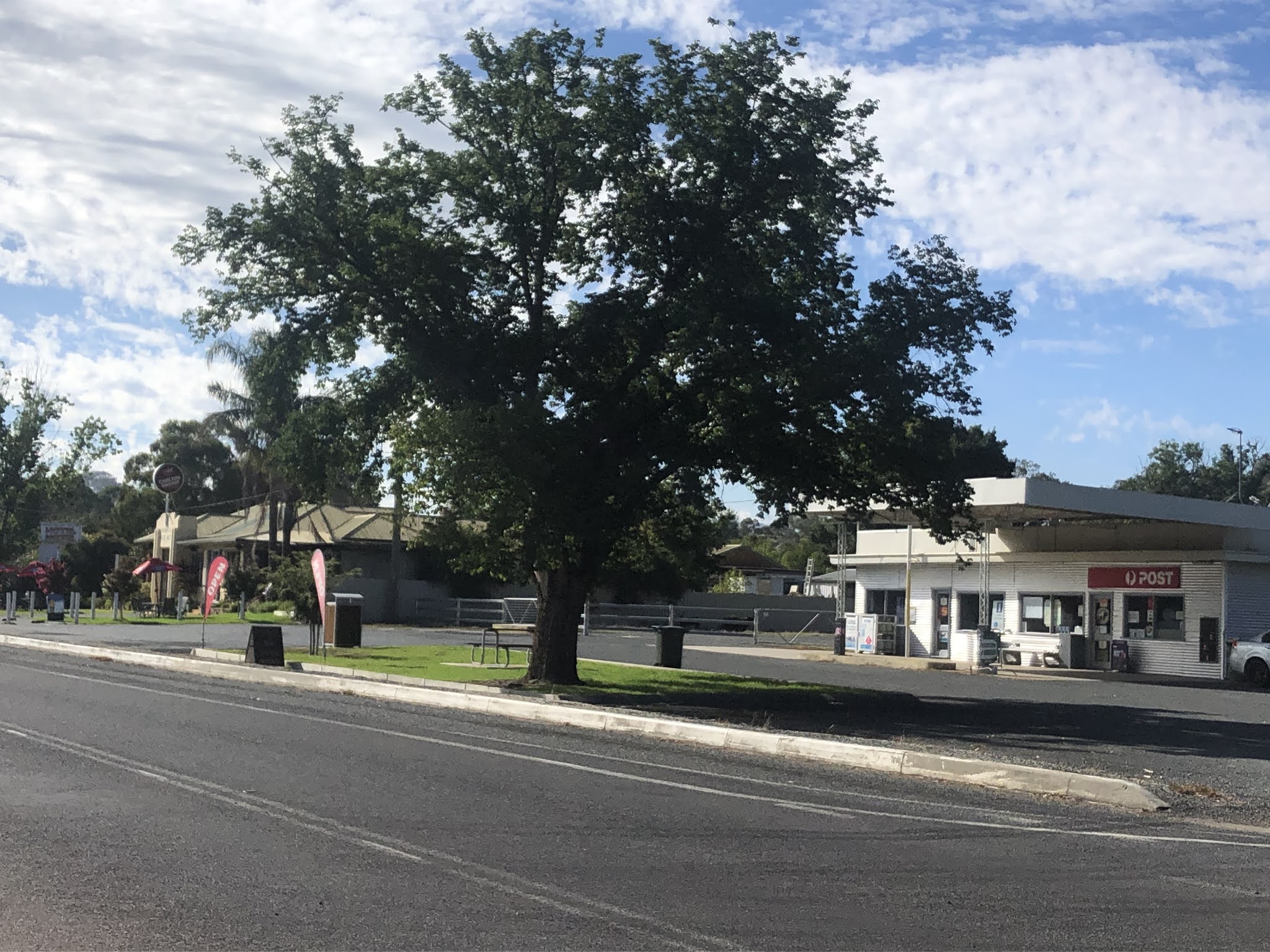
That afternoon I drove to Woomargama to embark on another section. I parked and walked 1.6 kms to Samuel Bollard campsite. It was a clearing in forest, very dusty and dry with a water tank and strangely the toilet was locked. This was a warm evening, good stars, deep red sky at sunset.
Next day I intended to walk east from SB to Tin Mines campsite (Lankeys Creek to Tin Mines is the closed section I mentioned) and then walk back to my car the day after. I've been doing the trail east to west but Tin Mines didn't appear to be accessible by 2WD.
Feb 16 The walk started on a logging road and some huge logging trucks came past. Then onto fire trails, much nicer. The route kept making turns, signed, but I had no idea where I was as the route on my gps was totally different. The trail must have been realigned. I followed the signs but it only takes one missing sign to get lost and sure enough this happened: after climbing a horrendous steep hill the dirt road abruptly ended. I backtracked, took the alternative track and luckily soon saw the markers again.
The track entered Woomargama National Park and climbed to a lookout on top of Mt Jergyle. I sat on a huge granite slab and had views towards Wagga
with lots of forested peaks in the foreground. All looked bluish in the heat haze. It was very warm and hard to get out of the sun. All the comfortable looking logs by the trail were in full sun.
From the lookout I had 8 kms of descent among lovely grey gums, although the terrain was still very dry, to Tin Mines, which means there will be a long uphill tomorrow. Tin Mines campsite was very spread out and grassy with a swamp behind. There was nobody else there until a family turned up, from Victoria and they had been booked on the same ferry to Tassie as me! 21 kms.
Feb 17 Next morning I started earlier and hurried uphill to Mt Jergyle. It was nice and cool, trees looking lovely in the sunshine, ferns, kangaroos, lots of noisy cockatoos.
I stopped at the summit and, of all things, I rebooked my Tassie trip, while again enjoying the great view. Back on the descent I tried a different route, which was the gps route I had but not the signed route. It was all on logging roads. I went through an area closed because of logging activity, so I had to hide in the bush when a truck went by. This was dusty work and the heat was making me tired. It was a really undulating road, with some views towards the south and the mountains. Black clouds were gathering. I drove to Woomargama and was keen to stay at the motel. The Victorian lockdown was almost over which was a relief; I was no longer a fugitive. 22 kms
Feb 18 I returned by car to park near Samuel Bollard and start the 3 day final section of the track to Albury. The track went into forest and along a ridge on very nice single track, some views, descending to a gully at the confluence of 2 creeks, both dry, then climbing back up.
The next part I had read about: the untracked route follows a fence line and is a sea of thistles while on the other side of the fence (where I'm not supposed to go because it's private property) there is an old fire trail without thistles. Very soon I was bored with the thistles so I climbed over the fence and walked on the forbidden side.
The trail finally came out onto open hillsides with lots of boulders and few trees. It was again hot and sunny but there was a slight breeze. I followed little paths and soon lost the main trail, but I wasn't worried because I could see Lake Hume in the distance and that was where I was headed. Actually I was looking at the upper reaches rather than where my destination lay but by the time I realised this I was back on track. The route crossed many stiles in various states of disrepair and the views of rounded hills and small dams were really pretty. But no cows today.
On the final stile was a sign saying the Hume and Hovell is closed annually along here all the way back to Lankeys Creek until Feb 28 because of fire risk. So I've done at least 2 naughty things today.
I had to walk another 8 kms on a bitumen road to the campsite which was hot work. I was pleased to arrive at this campsite on Lake Hume; it was a commercial camping ground and I was given a good grassy spot (freshly watered grass) overlooking the lake. 26 kms
Feb 19 It was already hot when I set out before 8am. I began with a nice 8 kms in a travelling stock reserve with rolling hills, sparse woodland, lots of cockatoos and parrots. More stiles.
The rest of the day was a hot trudge along quiet country roads. Occasional I had a stop to rest in the shade. Actually it became so boring I listened to a podcast while walking. I walked around Mt Budgingi and came to Table Top Reserve (town water and flush toilets) on Lake Hume, only 9 kms across the lake from last night but 23 kms of walking around the lake. It became windy and remained hot so I didn't do much.
Feb 20 Beautiful red sky at sunrise and I thought it might be a cooler day but again it was hot by 8.30am. I had 5 kms on bitumen road, some glimpses of the lake, then a stretch along a travelling stock reserve in wooded grassland, then I avoided new housing development by walking along a busy road, passing Albury airport. I had to walk along the bike path by the Riverina Hwy in blazing sunshine, then went down a trail in Mungabareena reserve by a channel of the Murray River, nice and shady.
I climbed Eastern Hill and didn’t have to go far up for good views over surrounding hills and Albury and Wodonga. I descended to residential streets, crossed the Hume Hwy, booked a motel and walked to it. There I ate 2 bowls of cornflakes (the breakfast supplied by the motel).
I left my pack there and did the final 2 kms of track, along the Murray to the Hovell Tree. Lots of people were swimming in the river. It was a relief to reach the tree
but a low key finish to the track. 28 kms today and 77 kms for this section.
Feb 21 I had to return to Samuel Bollard car park to collect my car. I took the bus from Albury to Woomargama
and the driver said this was the first time this year he was stopping there (it’s a request stop) and he called another driver to tell him about this. It was a very hot (34 degrees) 11 kms walk, 2 hours with a short break, right in the middle of the day. I was passed by a few cars but because it was Sunday there were mercifully no logging trucks.


No comments:
Post a Comment