10 November 2024

Rota Vicentina, Portugal hike

I found a second coastal walk to do, the Fishermen's Trail, part of the Rota Vicentina in far southwestern Portugal. Another of Europe's extremities.

28 October The bus from Lisbon was full of Rota Vicentina walkers and the town of Porto Covo (white buildings with a typical blue trim along the base and the doors) was a holiday place with plenty of visitors, so this wasn't going to be a lonely walk. As a warm up I did a short loop around the cliffs north of town. The scenery was impressive: from the cliff tops I looked down on deep rocky inlets with tiny sandy beaches and sometimes longer beaches, establishing a system for my whole walk of village on the cliff top with beach far below. Grilled sardines for dinner. 4 kms


29 October I left Porto Covo on the low sandy cliffs and crossed a number of narrow inlets, usually descending to a tiny beach. Then I walked a longer sandy beach with an offshore island that had ruins of a fort. There was another fort at the end of the beach, with a cafe so I had coffee and watched a stream of people coming along the beach; I haven't seen this since the start of the TA. The trail stayed on top of the dunes above sandy beaches and surfing activity

and I came to a long boardwalk at Praia do Malhão; from here the rocky coastline became spectacular with huge chunks of rock broken off high cliffs, a rock stack with a stork's nest on top and lots of rocky coves. The trail hugged the cliff edge.

People were fishing from the cliff tops. This lasted for many kilometres, the only downsides were the biting flies and the soft sand underfoot. Then the coastline made an abrupt turn and I was on the edge of Vila Nova de Milfontes. The last part into town went past hotels, a sandy estuary and a fortress. I stopped for lunch in the old town. Every building is white with a red roof. 20 kms

30 October I road walked out of Vila Nova to get to a long bridge across the Mira River and followed fields back to the river bank, where there was a convenient cafe with a nice view over to the town. I briefly visited Praia das Furnas then got onto a path alongside fields. The official route stayed this way for hours but I went onto the cliffs (much higher now) and had a great time, going above narrow ravines, rocky inlets, bigger coves and bays, rock platforms with strange tiny pinnacles, until I was forced inland by dense acacias.

There followed a long acacia tunnel before I could return to the cliffs for a view of long Brejo Largo beach, then passing more sandy beaches, with huge rocks scattered offshore.

When I got to Praia de Almograve I went off the curriculum again and waded the inlet for a direct walk into the town. On the other side I climbed too high and had to come all the way back down, wondering if I should have stayed on the proper route. I walked into Almograve and stopped at the first (and only) open cafe, for a toasted chicken sandwich. Portuguese toasted sandwiches are the best. 17 kms kms

31 October I wandered along the beach at Almograve then went up onto the cliff top dunes. This was a lovely stretch with steep headlands and broken off slabs of rock in the water. When the trail went inland I stayed on a narrow path at the cliff edge. It was magical on the dune plateau: low vegetation (a carpet of hottentot fig, close relative of pig face but a yellow flower), sandy bowls and fabulous coastline including big isolated rocks.


The sand varied in colour from yellow to red to white. I got my first sighting of the lighthouse at Cabo Sardão. Before going there the route made a detour past vegetable fields to a little village; time for coffee and my first pastel de nata.

The road led straight to the lighthouse and there were multiple places to enjoy the views of the rocks. Then the trail veered away from the cliff edge, passing drab moorland and acacia bushes with occasional access to the views - thin slices of rock jutting into the sea and more flat topped rocks with stork nests. It rained a little. The trail returned suddenly to the cliff tops above a beach

and I descended steeply to a tiny fishing harbour, then climbed straight up to a few houses, Entrada da Barca, and another cafe for all of us walkers to troop into. 

After that the trail was beside a road and I went back to the cliffs as soon as I could. More amazing coastline and a dramatic entry to Zambujeiro do Mar on a boardwalk across the cliffs.

The town was on the cliff top, right to the edge, with the beach directly below. Again every building was white. There were lots of restaurants in the town centre. I had pork with clams for dinner. 20 kms

1 November From Zambu I went up onto the cliffs for an off-route walk along the cliff edge above rocky inlets. Nice view of the town looking back.

The dune scrub was more shrubby. I went above beautiful beaches ending with Praia do Alvarão,

then came down to a beach with deck chairs laid out, and a cafe. A nice beachside break as the sun came out. Then more cliff top walking with picturesque beaches, some accessible,

but the dense acacia often got in the way of the views. There was a tedious lengthy detour past farms then I returned to the cliffs and soon arrived at a little village with a busy restaurant, where I ate a stale croissant and watched the rain approach.

More spectacular cliff walking (in light rain) with huge dark slabs of rock cast adrift and pebbly coves beneath vertical cliffs. I rounded a bend and I could see the village of Praia de Odeceixe running down the opposite cliffs to a wide beach, River Seixe on one side and Atlantic Ocean on the other. I stayed high a bit longer, going briefly into pine forest then finding a dirt road to get me steeply down to the river. I could see Odeceixe town on the other bank of the river (with a windmill above the houses) but I had to walk two kilometres to reach a bridge and then walk back on the town side (having crossed from the Alentejo region into the Algarve). Odeceixe had a cute triangular central square with cafes.

It was dark by the time the rain stopped but I walked up to the top of the town to see the windmill. Then I came down to the square and was so pleased to see a place where I could have a drink without yet eating. The waiter brought out my drink and started to wipe the wet table, and knocked my wine all over me. 20 kms

2 November An inland day. I walked back up to the windmill

and then made my own route to Rogil walking mainly on little paths alongside irrigation channels, past isolated farms, flower plantations, ploughed fields. Rogil was spread along a main road and I found a bakery. 

The dirt roads to Aljezur were uninspiring until the end when I descended a wooded gully of eucalyptus to cross the river. Then I went up steep streets through the town to the hilltop castle ruins. I had been looking forward to this but there was nothing there apart from low walls and bits of turret. I came back down through the town on an extremely steep set of steps to the main street and lunch.

I had to go back through Aljezur again, then I had a roller coaster walk on eucalyptus and pine clad hills with some views of coastal dunes, and scattered villages. It was hot. At the end I walked past a lot of houses on a plateau to my nice hotel in Arrifana.

I was all settled in when I decided I ought to go and have a look at Praia da Arrifana as it was highly rated. It was further away than I realised and I was worried about getting back across the unlit scrub before dark so I almost ran there. It was a long beach with a high promontory at each end, nice enough I guess, everywhere very busy except the beach itself.

Seared tuna for dinner. 30 kms

3 November I took village roads out of Arrifana and went onto a long stretch of dirt road, first descending to the coast with a great view of endless headlands and beaches southwards and pebbly Praia do Canal beneath the sheer cliff I was on, with a solitary sea stack offshore.

Next was rather a trudge through light eucalyptus woodland undulating over a plateau with fairly desolate views. It was windy. At the top, Monte Novo, there was a cafe and a chance to get out of the wind for chocolate cake.

The road stayed on the plateau with increasing ocean views and the descent when it came was on deep sand. The trail came close to the cliff edge with a long strip of golden sand below - I could easily distinguish the buildings of Arrifana spilling down the hillside back along the coast - and eventually I descended to the wide Praia do Bordeira with white sand. I walked along the beach, climbed above a stagnant lagoon and stamped through deep sandy dunes into Carrapateira, a quiet surf town surrounded by hills. 21 kms

4 November I had a nice early morning view over the area from the very simple white church at the top of the town. A day of two halves. I first looked down on and then had a lovely walk along Praia do Amado.

The cliffs were red and there was a patch of pink pebbles on the sand. At the end I climbed steeply and descended to a small bay then went up and down again to a pair of little bays, one sandy, one rocky and a long view back down the coast. Inland the landscape has changed to low mounds of dark green bushes on rolling hills of red-brown earth. 

After a long climb up to the plateau the rest of the trail was a plod directly into the wind with nothing to see but clumps of dark green cistus. And a small group of goats. I came into Vila do Bispo and found a cafe on the central square. Cod with potatoes for dinner. 15 kms

5 November I walked out of Vila do Bispo past fields and empty land. Within an hour I could see the lighthouse at Cabo São Vicente in the distance. It was exciting to be reaching the far southwestern corner of Europe. I came back to the coast which was soon very rocky and sheer cliffs, the rock sometimes reddish or white, a lovely sandy beach: Praia do Telheiro

and many stony coves. It was again possible to walk near the cliff edge. The black clouds that had been hovering went away. I could see the lighthouse clearly when there were still several promontories in between, and the last kilometre was slow going over jagged limestone with a requirement to stop for all the views.

To both sides of the lighthouse were 70 metre sheer cliffs; good thing it wasn't windy.


I had a coke then walked to Sagres, at first by the high cliffs on the southern side, stopped at a small fort, and walked by the road until close to town. Very hot. I went back to the cliffs where there were people fishing from the top. After a break in Sagres I walked out to the large fort on the Sagres promontory and stayed to watch the sunset. 23 kms

6 November I woke to the best weather of the walk, perfect blue sky. I left Sagres along a seaweed covered beach and returned briefly to cliffs, islands off shore. Then an inland stretch on heathland, green and pretty on a sunny day. Little birds. Descended to a beach then pleased to climb to the cliff edge again, rocky headlands and beautiful blue ocean. The dunes have been replaced by hard baked red earth. The cliffs are now crumbly red and yellow sandstone.

I stopped at (weedy) Ingrina beach for coffee and almond cake and went over a headland to Praia do Zavial, much prettier because it was weed free. There were little crocus flowers on the path just like I'd seen in Galicia.

I climbed the next headland above Praia das Furnas for a long view down the coast, one sandy beach after another; I had hoped to walk these beaches but I had just missed low tide and they were separated by impassable rocks.

So I did a lot of ups and downs above the beaches, finding some short cuts. I was able to walk the last of the beaches, then after a path through pine trees I was in Salema, clearly a busy resort but short on accommodation. I checked out the dinosaur footprints in the rocks and walked the beach, and got the bus back to Sagres. 19 kms

7 November Bus back to Salema. I climbed through the town to get back to the cliffs. The path repeatedly went down to beaches and back up. Very windy. Passed ruins of a fort. In one place I tried to get around the rocks on the beach but couldn't. I descended steep little lanes in Burgau to a tiny cafe overlooking the beach. Everyone here seems to be English.


I went on to Luz (past ruins of a smaller fort) on the cliff top. The cliffs, red and yellow sandstone, look more fragile here. I went in the open church in the centre of Luz and I stopped at a large busy cafe by the empty beach for a pastel de nata.

After Luz I climbed to an obelisk with a commanding view over the sprawling town and continued on a walkway on the cliff top. For the first time some of the cliff edge was fenced. There was a long strip of beach below. I rounded a bend and could see my final destination, Lagos, but I still had a treat in store. 

When I got closer to the headland Ponta da Piedade, with a lighthouse, I reached an area of the most amazing sandstone formations both in the sea and on land: rock arches, freestanding pinnacles, weird cliffs, caves and holes in the rocks. Tiny beaches. Nothing I had read had mentioned this. There was a maze of boardwalks to lookouts and masses of people.


Unfortunately at the far end my route was thwarted by roadworks and I had to detour past derelict buildings. I emerged at the river estuary and entrance to the marina where there was a little fort with a tiled chapel and across the road an archway that was part of the original town wall. I went through to the old town (seemed crazy busy after all the quiet villages) and stopped for lunch. I decided this was my finish line for the Rota Vicentina. 23 kms

Total 212 kms

29 October 2024

O Camiño dos Faros, Spain

I'm partial to a coast walk so the Camiño dos Faros in Galicia appealed to me, with lots of beaches and lots of cliff top walking. Could be very wet which wasn't so appealing. The logistics of the early days gave me a challenge.


14 October I took a bus from A Coruña to Carballo and another to Malpica for the trail start. I had intended to wait a day before starting out but I walked to the lighthouse (#1) at the far end of the little port, turned around and commenced my Camiño.

Starting a day early messed up my planning but there was nothing to do in Malpica, although it was a pretty place with colourful buildings stacked on the hillside. I crossed over to the ocean beach promenade above a sandy beach, full of noisy gulls. I detoured to my hotel to check in and leave my bag, and had a second breakfast at the only open cafe.

I walked along the beach promenade and then climbed onto a gorse/fern covered hillside. It was a grey day, pleasant walking temperature. The path was fairly close to the cliff edge, passing little beaches and rocky coves and I could see the coastline was very indented. Soon I saw the Sisargas islands (with lighthouse #2). There was a distinct ocean smell. Temporarily it felt remote, then I could see a wind farm and a village on the coast ahead. I descended to the little beach at Beo and back up to the road on a staircase that was still under construction. I took a minor road back to Malpica through crop fields. 13.4 kms

15 October I left Malpica in intermittent rain with a last look at the beach

and returned to Beo via a different set of villages, rejoining the trail at a lovely bay.

I stayed on the low cliffs until descending to a sandy beach where I had to wade through a little creek. I walked along the beach and climbed through the scrub to a contouring path with a view of yesterday's coastline under low cloud. All too soon I rounded the point and arrived at today's destination, an isolated pensión. I was the only person staying there and in the evening I ate my peppers stuffed with cod alone in the restaurant, with a fabulous view out over the ocean. 8.5 kms

16 October It was raining when I got up and the pensión owner was gloomy about the weather and said I would be cutting my walk short but it wasn't bad at all. I left as soon as it was light at 8.30 and headed past the scattered houses, crossed a white sandy beach and climbed over a saddle to another bay, then the real walking began. I climbed on a rough rocky trail to the cliff top and undulated along with the ocean on one side and bracken fern covered hillsides on the other with large boulders. There was a bit of scrambling. The weather was already improving. I got a glimpse of Punta Nariga lighthouse (#3) and had a long series of ups and downs to reach it.

After that the going was easier along a rocky stretch of coast. I came to Niñons beach, then crossed an even prettier beach and more followed. 

The trail went inland into trees, crossed another beach and became steeply undulating with amazing views up and down the rugged coast. After a while I could see Punta Nariga lighthouse again and all the coastline I had walked, in nice sunshine. It was tiring though, constantly climbing up a headland then descending to cross a stream or rocky bay and I was glad to reach the little village of O Roncudo. I ate lunch by a couple of the local barns on stilts (horreos).

I left the trail, walked steeply down the road to Corme, had coffee and asked the barman to call me a taxi; the driver took me to Ponteceso and then helped me check in to my hotel as the owner wasn't around. 21 kms

17 October Taxi to Corme then I walked back up to cliff top O Roncudo along gravel roads and tracks, and reached the trail as the sun came out. It was windy and the water was rougher. The path contoured the grassy/ferny hillside with big boulders and Roncudo lighthouse (#4) came into view beyond some more inlets.

It was a low lighthouse in a wonderful setting. I rounded the point on a path through the boulders and walked on the road into Corme, with views across the large bay to Laxe. I stopped for coffee in Corme which was much livelier than yesterday. 

I left Corme via two small beaches, a bit of damp forest and a lovely white beach, before returning to a fairly level path ten metres above the water. Corme was more attractive from a distance: steeply layered colourful houses. The trail stayed low until reaching vertical cliffs where I had to climb to the windy top for a great view and then a descent in eucalyptus forest to a beautiful beach. I crossed the beach and walked a low headland. At the end was a huge estuary and massive sand dunes. The trail wound between the dunes and pine forest then reached the estuary edge and followed it to Ponteceso, the last part on a levee between the river and wetlands. 20 kms

18 October I crossed the bridge over the Anllóns River, went uphill for a view over the estuary and came down for an hour of nice walking beside the river. It rained but soon cleared.

The trail makes a big inland detour and I was unsure whether it was worthwhile but I'm glad I did it. I walked alongside a fast flowing stream in oak forest, climbing gradually, turning off for the track to the Castro de Borneiro which was quite a surprise: hidden in the forest were the remains of lots of circular stone houses dating from 200 BC.

A kilometre further on I visited the Dolmen de Dombate, a burial mound comprising big stone slabs, roof and corridor from 3600 BC. I went through the next village and climbed in pine forest to the top of Castelo de Lourido, 312 m, with views across the bay of the coast from Roncudo lighthouse to Ponteceso (including the cliffs I had climbed which looked impressive from this side) and to Laxe, a large town on a white curving beach.

The many hills inland were misty. The descent was long, first forest then a series of villages (plenty of horreos) all very quiet. I was almost back where I had been hours ago.

I walked out to the coast and passed two lovely beaches

 contouring through ferns, and climbed to the top of a couple of promontories. I could still see Roncudo lighthouse and Corme all the way. The first time I saw Laxe again it looked close but wasn't. The trail rounded more inlets keeping fairly high then I came into civilisation abruptly and walked along the Laxe promenade behind the dunes. Biggest distance I've walked since January. The old town had narrow streets and an austere 14th century church I was able to go inside. 25 kms


19 October It was pouring when I got up but improved to misty rain. I went up the road to Laxe lighthouse (#5) but there was no view. I took the trail right by the water around some rocky ribs and passing an oceanfront cemetery, then climbed to the grassy/bouldery top of the next headland. The view from the top was a real gem: a curve of white sand ahead,

the Laxe peninsula and Laxe beach behind.

I was happy to get the views despite the misty day. I took off my rain clothes. The descent was nasty as the rocks were wet but I was able to walk the beach I had seen. 

More coastal paths with the coastline visible back a very long way, then a dirt road between the ocean and pine forest. Another long beach but the trail went behind it to give access to a wetland and lagoon. This ended at a village with a bar so I went in for coffee. The bar was busy with men drinking red wine and eating anchovy sandwiches.

The path continued alongside the beach, rounded a few points and I came to an area filled with weird boulder formations; I had nice glimpses of colourful Camelle arranged along the west side of an inlet.

I had my introduction to flooding on the trail. The next kilometre was in pine forest and very flooded. I came into Camelle and had another coffee in the port area. Then around two more bays to Arou with a tiny sandy beach and I got there as the rain returned. 19 kms

20 October The wind was crazy in the night. As I walked to the cafe for breakfast I could see the Laxe lighthouse flashing. I left Arou in light rain - very pretty looking back

 and started around some bouldery inlets including a climb with a tricky descent on the wet rock. I came to a huge vegetated sand dune I had to skirt on a sandy track, passing lovely beaches.

I came over a headland and noticed two friendly dogs were following me; they stayed right behind me for a kilometre then vanished. This was all slow going and the trail was again flooded. I reached the walled English cemetery with memorials to sailors from the 1890s and then had my first sighting of the Cabo Vilan lighthouse (#6). It has a spectacular setting at the tip of a promontory with big rocks off the end. 


I walked towards the lighthouse on a dirt road with increasingly great views, as the sun came out,

until the setting was no longer apparent and it just looked like a lighthouse on a hillside, so I turned to follow the west facing coast for Camariñas. I could immediately see the Ermita da Virxe do Monte on a cliff top. This coast was windy. I walked an undulating dirt track above rocky inlets, with a view of Muxia across the bay, turning off for a visit to the stone chapel (closed). The trail descended to a so-so beach and went through pine trees. I passed a tiny lighthouse (#7). Even though Camariñas is a large town I couldn't see it until I was right in the port, and I walked along the waterfront as the rain started. It was a bleak wet Sunday evening. I couldn't see anywhere that would be open to eat until I noticed a bar right by my hotel which appeared to have the whole town inside. 22 kms

21 October it was raining heavily while I had breakfast and I only left town once it stopped; I didn't mind this. I had another large estuary to get around. I went along a wet grassy track, through pine forest, saw a flock of herons. The water was still and black. I stopped for coffee in the first village. Then I walked alongside the River Porto, back in pine forest. I could see men harvesting the bright green seaweed. I went through a large but deserted picnic area and walked a short stretch along the beach - saw a line of cormorants on a rocky ridge in the river - then had another coffee when I got back to the road.

The last part was an exercise in avoiding the main road, going through a couple of villages (one had a horreo sheltering lots of cats) and into a eucalyptus plantation. In sunshine. I returned to the main road and was soon in Ponte do Porto. The town was centred on an old bridge over the river and several places were open, unlike Malpica last Monday. 13.5 kms

22 October I was given a big breakfast, all alone, at the hotel. I crossed the bridge and walked along the river to Cereixo, a village with a church and, nearby, two stone towers. I went a bit inland on the road then soon I descended back to the river for a tranquil walk in forest. I could see Camariñas across the bay. I emerged at an ocean beach, now having left the estuary,

then a tiny lighthouse on a point (#8), followed by another beach that clearly expected crowds in season, with several closed hotels and restaurants. From there I took the road through a couple of villages, hoping for an open cafe but no luck.

I was on the road for a while before I came to duckboard through a wetland area and a windswept beach, and I went back into forest. At the highest point I had a sudden glimpse of Muxia in sunshine and I could again see the Cabo Vilan lighthouse (but not so spectacular from here). I came down to the water, with Muxia fully in view, a rocky hill behind the town, and I crossed a final beach, unfortunately getting a wet foot when I met a stream.


Muxia was a shock: it was crammed with people and all the waterfront cafes were full; I went to a bar in a back street which was nicely out of the wind. After going to my hotel I went for a walk around the rocky hill to the Sanctuario de Nosa Señora de Barca,

fantastic setting on the rocky promontory but unbearably windy, with small Muxia lighthouse (#9) nearby. 22 kms

23 October Perfect blue sky for the first time. I road walked out of Muxia then crossed a beach and climbed steeply up Monte Cachelmo. I had a view over Muxia, the bay and as far back as Cabo Vilan. In the forward direction I could already see the Cabo Touriñan lighthouse and many small bays. Then a steep rocky descent, I rounded an inlet and went out to Punta de Buitra, more views in all directions from the summit.

Blue sea. Blue sky. Not a breath of wind.


I descended through a lot of gorse, crossed meadows behind a beach and started the long climb up Monte Pedrouzo, mostly in gorse. The summit was odd: a meadow with several piles of boulders; the views of Cabo Touriñan and the smaller promontory in front were great.

The descent was mostly ok, not too steep until the end and I came out at Praia de Moreira, a lovely beach.


From there I went past fields (and cows) to Cabo Touriñan and did the prescribed loop out to the lighthouse (#10). This was a bit of a slog on undulating grass with lots of boulders, a pretty island was a distraction and I saw a snake but I was getting very hot. The lighthouse was medium sized and white and tucked away, like Cabo Vilan it looked better from a distance. Then I walked along the road and turned off for Praia de Nemiña, where I was relieved to find a tap. This was a beautiful sweep of sand and I walked a little way along before climbing to an undulating path through trees. I had another estuary to get around with several kilometres to the first bridge. This involved some forest trails in poor condition, many waterfalls cascading onto the trail, fallen trees and flooded trail. I reached the bridge, just like the one at Ponte do Porto, and walked up into Lires at 7pm. It was a long day. 30 kms

24 October I woke to a grey day with heavy rain forecast. I decided to walk as far as possible on the trail and bale for the road to Fisterra once necessary. I walked above the estuary out of Lires with a good view of Praia de Nemiña and was soon back on cliffs. I came to the first headland Punta Lagoa with a view back along the coast and with Praia de Rostro ahead (my first chance to leave the trail)
 As I went on the views of the rugged coast were great.

I descended to long Praia de Rostro and after some trouble having to avoid a stream I managed to get onto it; I walked a kilometre on the sand with the wind in my face. The hillsides were in black cloud. Then I climbed to the Castro de Castromiñan for a view over smallish but golden Praia de Arnela.

The trail on the cliff edge became very exposed and windy so I scrambled through the gorse to a parallel path that was higher, had the same views and felt safer. Eventually this path, full of gorse and blackberry, descended to a village and I decided to cross the peninsula for Fisterra as the weather wasn't improving. I found a route through villages and detoured to the main road for a cafe. From there I walked along the beach (on the east side of the peninsula) into Fisterra and through the town to my hotel; there was a horreo right beside the hotel. Walkers everywhere. It was soon raining and zero viz. 17.5 kms

25 October Yes! It stopped raining while I had breakfast and I returned to the trail at Praia Mar de Fora, walked the beach and then through a village, out on a sunken cobbled path, and a final climb up Monte de Facho in sunshine. On the way I had my first view of Cabo Fisterra and the lighthouse perched on the rocks at the edge of the world.

Apart from that I had run out of coastline to look at. I descended on a narrow road and walked out to the lighthouse (#11), an unattractive square building with lighthouse tower attached behind.

Just as I got there it poured. Luckily there was a cafe. O Camiño dos Faros is done.

I went back up the hill and over Monte Guillermo, passing ruins of a chapel, then descended to Fisterra on a grass path via Iglesia de Nostra Señora das Areas (open) and ended up walking cobbled streets through the town. 11 kms

Total 223 kms


04 October 2024

Overnight bike ride

With two days of good weather coming as a break from the constant rain I had to go for an overnight bike trip, my first this year.

October 2 I took the train to Lilydale and got onto the Warburton rail trail. Again I had difficulty finding the start. I have a love hate relationship with this trail because of all the times I've run on it for the Trailwalker but it is a lovely trail to ride, especially on a sunny day. The stretches in the bush are nice and the views of the mountains around Donna Buang are great. Everything is so green now. Near Woori Yallock I had a problem with a swooping magpie and this prompted me to go to the bakery. Another magpie was waiting for me on the road back to the trail. At Yarra Junction I turned onto the Noojee road and had an undulating ride to Powelltown, although I found it hard because I haven't ridden any hills all year. After a short break in Powelltown I continued and immediately had a 5 km serious hill which was seriously hard. It was mostly in forest. Parrots. On the descent I got quite cold. I passed the High Lead car park and after more undulations I turned off for the Latrobe River campsite. Last visit, the weekend lockdown finished, it was overflowing with people but I had expected to be alone there today, midweek; I had forgotten it was school holidays and the place was packed. I strolled down to the river. I put up my tent (the one I hadn't used for over a year) in the picnic area. Well, I tried to put it up but I found that the zips on the inner were all seized up and I had to unclip it and just use the fly for shelter. I was concerned about the mozzies buzzing around, luckily they went away at night. 64 kms

October 3 The beautiful tall trees were shrouded in mist at first, then more sunshine.

First up a nasty climb to a plateau with views back to the Yarra Ranges and towards Mt Baw Baw. I just don't feel very fit. I stopped to make coffee at a rest area overlooking the Tarago Reservoir.

After that a pleasant surprise - an off road trail, sometimes beside the road and sometimes well away from it in bush. It undulated a lot and was rough but I was oblivious to the road. Then a smooth rail trail deep in forest, all downhill. I emerged at Rokeby to follow rural roads with distant mountain views. I had a welcome descent towards Drouin and the last few kms were a bike trail through wetlands and parks until I reached the town and the station. 46 kms

10 September 2024

Mt Remarkable National Park

When I did the section of the Heysen Trail that went through Mt Remarkable National Park I seriously considered making up an alternative route through a more iconic part of the park but I decided I should stay on the approved course. Now I had my chance to do the more interesting route and I worked out a four day undemanding loop for my return to overnight hiking. This was in the western part of the park, away from Mt Remarkable.

September 6 The trail started in the Mambray Creek valley crossing the creek a few times. After a while I climbed to the Sugar Gum lookout with a limited view of forested peaks and then the trail continued to climb relentlessly along a ridge with steadily improving views over the park, many peaks and the Spencer Gulf, pine trees and low grass trees. I kept getting the impression I was near the top but I had to go on climbing. The flies were bad. From the highest point I had a very steep descent, so steep that there was wire mesh over the track. I went up again equally steeply followed by a more gradual descent to Sugar Gum Dam campsite. This was a really secluded spot among the trees, a small dam with black water and good reflections and a giant water tank (with water), no shelter.

It looked like it could rain. An emu came for a look around. Then it began raining. I was cold so I got into bed, and soon I was surrounded by mist. The rain was blown away in the night and the stars came out. 12 kms

September 7 The trail rejoined the creek and undulated through sparser woodland, I saw a pair of emus. At the top I could see the Mt Remarkable range. Then I joined the Heysen for a section of "walkers follow fence". I turned onto the Woods Hut trail and was on a steep roller coaster through a succession of grassy gorges. Lots of kangaroos. Next the Tower track with a really steep kilometre to a tower (729m); the views were less obscured by trees further on, looking out towards the farmland north and the park, and I could glimpse the red walls of Alligator Gorge. I had 3 kms on the road down to a parking area and I walked out to sit for coffee at a gorge lookout towards sheer red cliffs. Some people were excited about a rufous whistler and when I looked up it was in the tree above me. The last stretch to the camping area was in pine/gum forest down to Blue Gum Flat (where I expected water but there was none) and on to Longhill campsite. It was very still and quiet apart from the birds and I saw a robin with a bright red chest. 16 kms

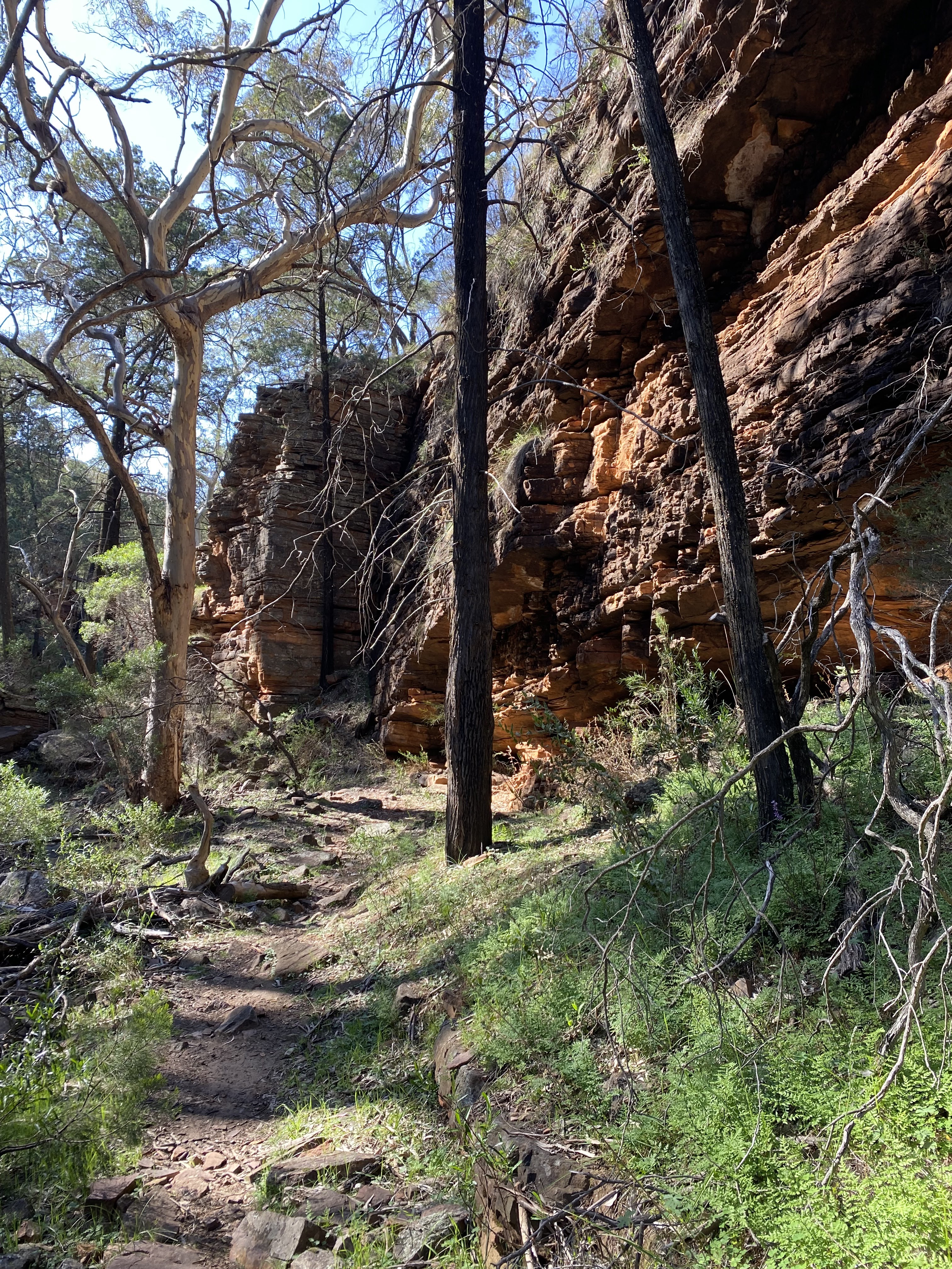
September 8 Lots of lovely birdsong when I got up and surprisingly cool. I had a long gradual climb on a fire trail to the entrance to Alligator Gorge, several euros (local kangaroo with black feet) jumping around. Immediately I was in a huge wooded bowl and soon I was by the creek. The gorge was wonderful: increasingly frequent red walls, dry rock pools at the base of dry waterfalls and very occasionally water in the creek.


The walls became higher and although I was in shade the cliffs shone bright red in the sunshine. The going was rocky and sometimes I walked in the creek. At the Terraces the creek descended on rock slabs. There was more water here and minuscule cascades between the slabs. I went up to the car park to get water and then sat by the creek for morning tea. After that I walked through the Narrows on Alligator Creek where, at one point, the sides of the gorge were only slightly more than my arm span apart.

I came back to Blue Gum Flat, a short way from last night's camp, and turned onto Kingfisher track which was a wide dirt road through dry bush, acacias and pines. I had good views towards the southern peaks. It was warm but not hot and the sky was all blue. I stopped for lunch at Kingfisher campsite which was in a huge clearing with a water tank. I started to parallel red walls again, crossed Alligator Creek and reached Hidden campsite, and picked a spot across a creek from the red rocks.

16 kms

September 9 I set off into Hidden Gorge and straight away I was surrounded by high cliffs.
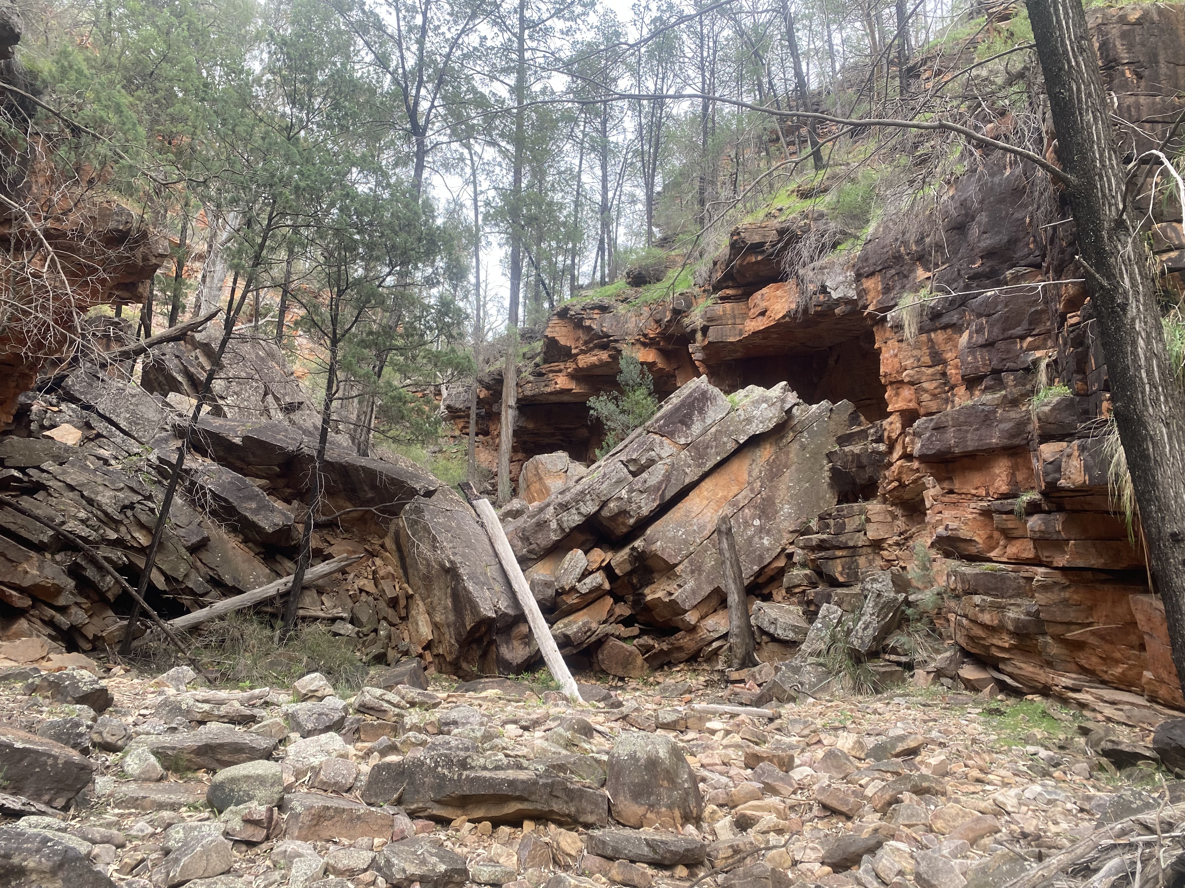
The going was rocky, some creek walking on rocks and slabs. It was impressive, such high sides to such a small creek. There was a huge rockfall to negotiate and many tree/rock obstacles.

The rock walls became lower and then I was climbing out of the gorge on a scrubby hillside. I came to a tower just as it started raining lightly. I took the walking trail down towards Mambray Creek; at first it was along a ridge with constant views over farmland and Spencer Gulf, the park peaks were partly in cloud. Then the final descent among pines to my car. There were a pair of emus in the car park to greet me. 11 kms
Total 55 kms

September 10. I couldn't come to this park without going up Mt Remarkable, especially as I had barely seen it, so I parked in Melrose and embarked on a loop hike. So as not to repeat myself I started with the southern summit trail and returned on the northern summit trail (which is the Heysen). Both trails were similar with views over Melrose, farmland and distant peaks on the eastern horizon. Lower down the trees were sparser giving better views. The trails crossed numerous vast scree slopes of smallish red rocks.

From the highest point on the southern trail I had a couple of kms in forest as I followed the ridge to the main peak (960 m). There's still not much of a view from the summit but descending the northern trail I initially had views towards Spencer Gulf and the hills I hiked in the past few days.

16 kms

09 September 2024

Townsville

When I went to Townsville for the marathon in 2004 I was surprised at how nice it was, especially the long trail along the shore facing Magnetic Island and lots of outdoor cafes. (Even then I didn't remember anything from my visit in 1989 to start my bike ride to Broome.) I thought it would be a good place to go this winter as part of my recovery to do some longer walks in warm weather.

August 7 Castle Hill was top of the list. The red rock towers over Townsville and I had run up it twice. This time I walked along the esplanade to Rowes Bay, going over the headland at Kissing Point with its WW2 forts. I wanted to approach the peak a different way from before and I walked streets until I reached the Cudtheringa track to the top. There were hundreds of rock steps and my heart rate was absolutely maxing out because of my strange virus. The trail was through dry bush and it was hot. I came onto the road for the last bit. At the top there were several short trails I hadn't done before, so I did them all, to forts, the summit (286 m) and viewpoints.


I came down on the road (because the other trails looked too rough for me at the moment) and through the botanic gardens. 14 kms

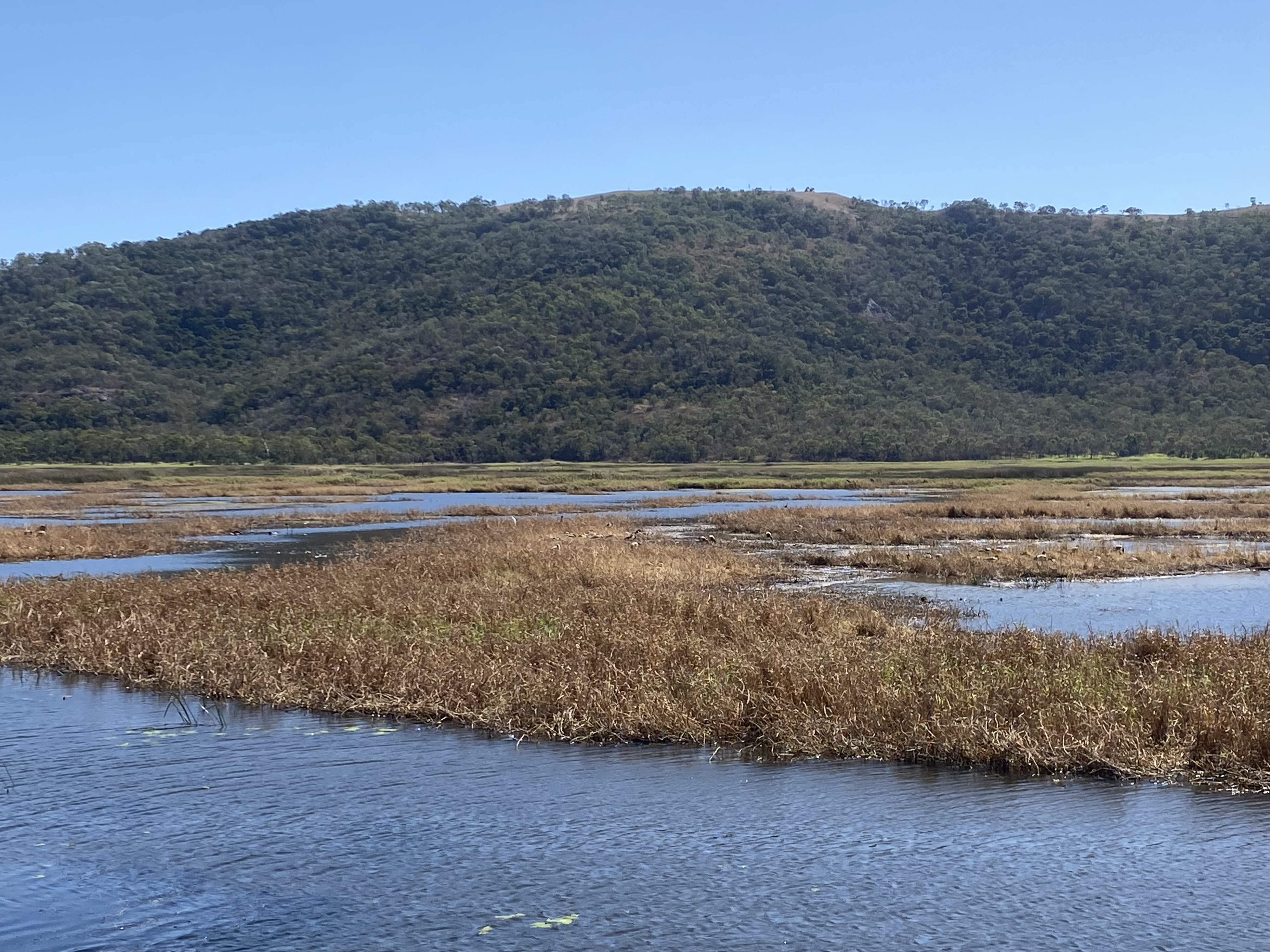
August 8 Cape Pallarenda was next. I hadn't been there before. It's 10 kms out of Townsville and I caught the bus! I had planned an ambitious hike which was almost too much on this hot day. I walked to Shelly Cove and passed some more forts, then started on the Under the Radar trail, a walking/bike trail. Early on there were a few bikes. The trail undulated a lot and had many unnecessary hairpins, through dry forest. Soon I had views over the sandy expanses of Shelly Beach. From higher points I had views of the water and little islands. Castle Hill was prominent in views towards the city. The trail crossed dry creeks and one filled with mangroves. There were also big areas of woodland. I was trying to conserve my water and with constant coughing my mouth was like parchment. Eventually I came to a junction and I turned onto a flatter trail which took me to the inland part of the park. For the last part I walked beneath the Many Peaks range along the edge of extensive lagoons, very green and full of water fowl. I was quite exhausted and disappointed to miss the bus by a few minutes. I walked a little way to the Pallarenda settlement and was amazed to find a cafe so I went there for ice cream and a soft drink. 17 kms

August 9 I returned to Cape Pallarenda for another hike. This time I took the Many Peaks trail up Mt Marlow (218 m). The ascent was rocky, mostly in dry forest with lots of hanging vines and huge boulders and a comfortable gradient. There were plenty of openings with views towards the lagoons and Magnetic Island. The last part was grassy hillsides. Another walker was sitting at the summit and kindly named the islands we could see. There was a pleasant breeze.

The descent was easier than I expected contouring grassy slopes in woodland, no more rocky steps. I reached the bottom by a huge boulder, Bald Rock.

From there I took the Freshwater trail through the wetlands with thousands of water birds. 11.8 kms


27 July 2024

Mallee Parks revisited

 I started my trip to the Mallee parks with a quick visit to Lake Tyrrell, Victoria's largest salt lake. There was a short walkway across samphire flats passing little pools to the edge of the main lake. I was surprised how big it was. 2.8 kms

Then I went on to Kings Billabong near Red Cliffs. I couldn't drive right to the parking area so I had to walk a bit extra. Almost immediately I surprised some kangaroos. I did a loop around the parcel of land enclosed by the billabong and Ducksfoot Lagoon. The billabong was full of pelicans and ducks and very calm. I walked to a bird hide through buloke woodland with a view of the whole billabong, and then across to the lagoon, much smaller with lots of ducks. I saw a few parrots. 10.5 kms.

In the late afternoon I went to look at the red cliffs on the Murray. They are quite a surprise, on the Victorian side just along this one bend of the river. By climbing through a fence I could walk along the top of the cliffs for better appreciation.

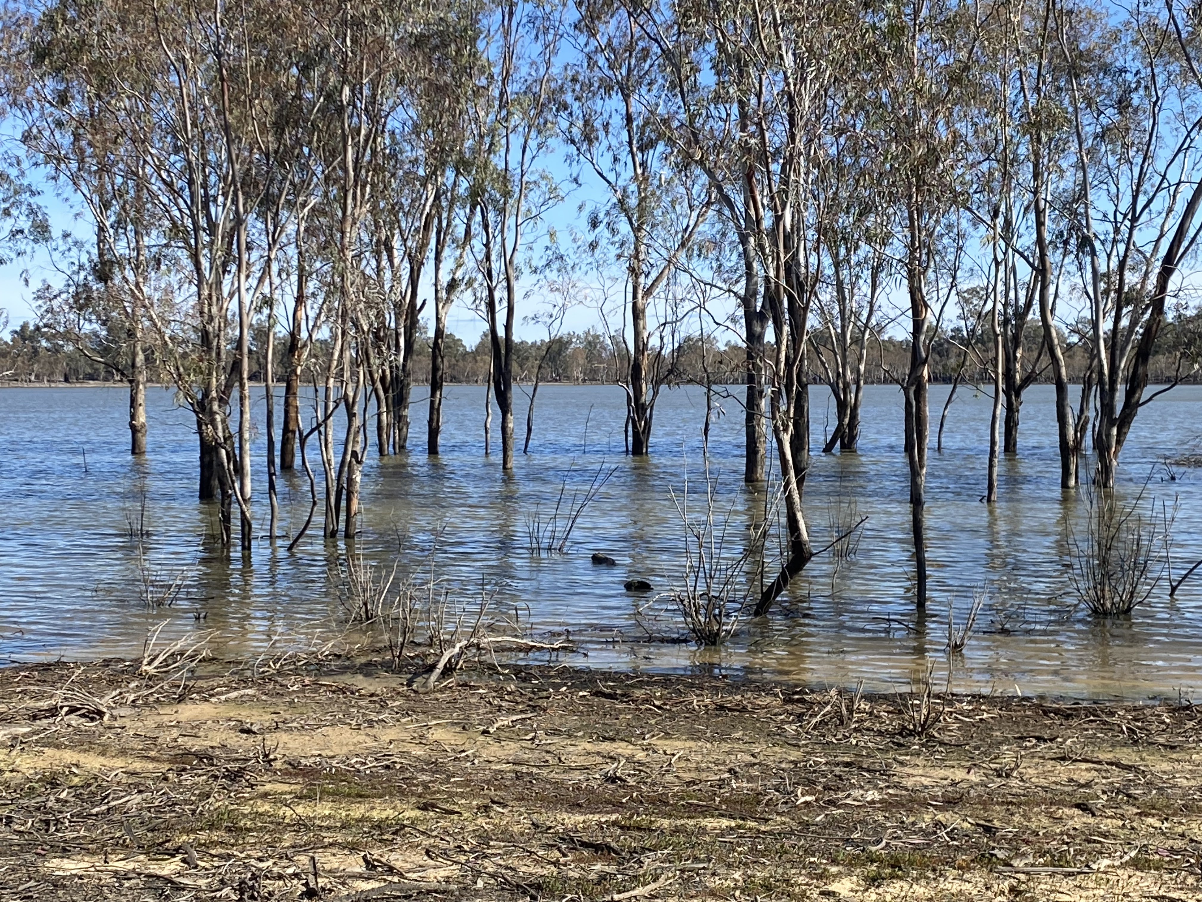
Next day I went to Hattah Kulkyne national park. Last time I went there it was all flooded and I couldn't do any of the walks. This time everything was open and the place was deserted. I drove to the Warepil lookout for a view over the park and started a loop walk to a couple of lakes hidden in the woodland. The red earth terrain was undulating with mallee gums and scrub. I heard a strange sound and an emu appeared! It was a long way to Lake Konardin, a largish lake, and I was able to walk by the shore for a while.

It looked like flooding had recently receded.

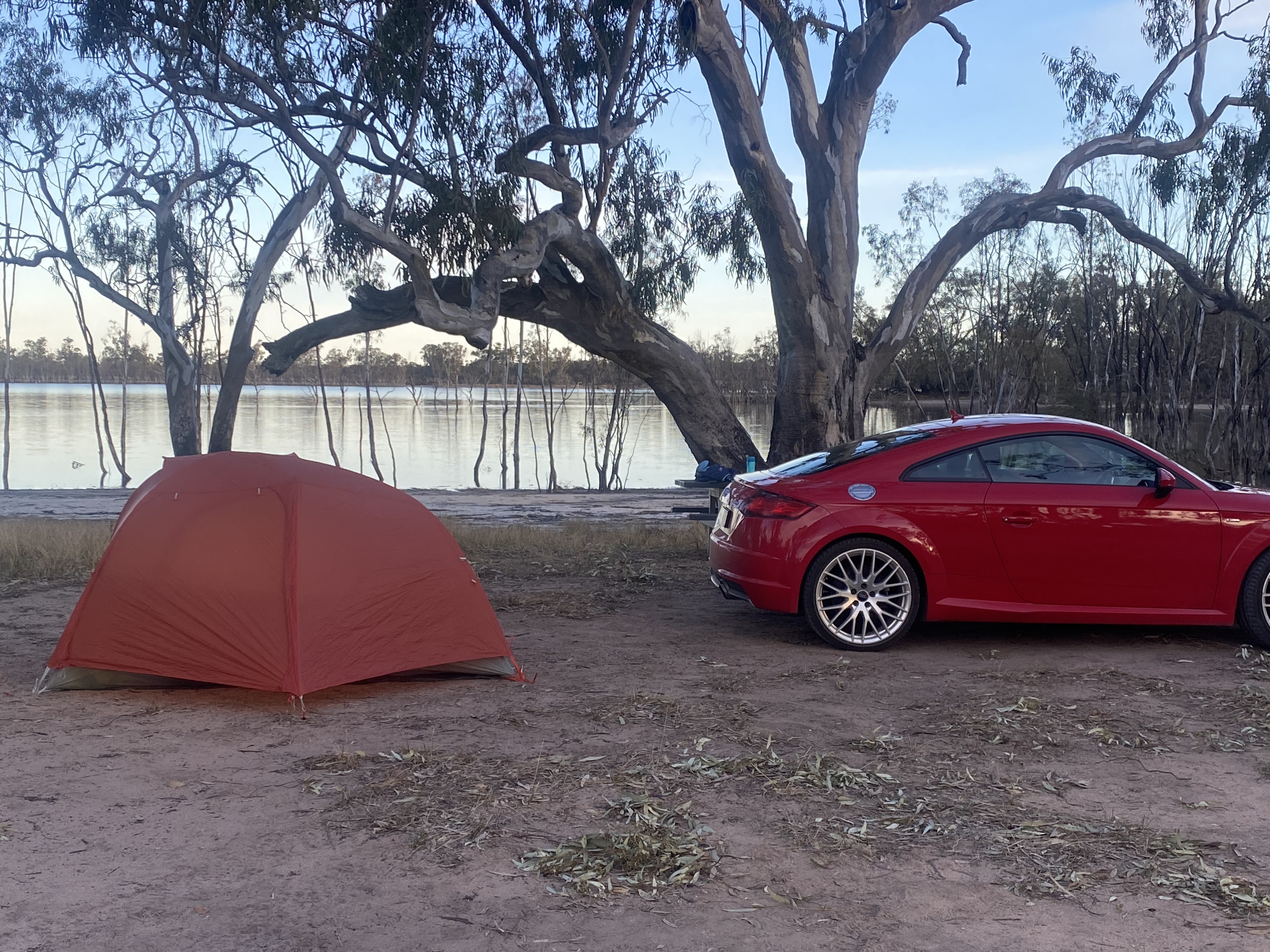
Then I went on to Lake Mournpall and sat at the empty campsite. It had become quite hot. I walked back to the lookout on a different trail. I camped at the Lake Hattah campsite (which was completely under water last time).

There was a tall egret standing completely still at the lake edge staring intently at the water; in the morning it was back in the same position. It was a clear starry night. 15 kms

Next day I walked a loop from the campsite around Lake Hattah and a couple of smaller lakes. The terrain here was different: brown flood plains with mallee and buloke. I saw lots of galahs, cockatoos and ring neck parrots. The highlight was three emus strolling across the trail. I saw a few kangaroos and later another emu. 10.6 kms

Late afternoon I went to Murray Sunset national park and had a quick look at the pink lakes. I walked along Lake Crosby through the samphire and over a grassy ridge to Lake Kenyon, very pretty.

This part of the park is a little oasis among farming land but you would never know this from the lake shores. I finished the loop and went on to Lake Becking, a smaller round lake. Then I returned along Lake Crosby as sunset approached. Everything was purple. I saw a trio of bright yellow Regent parrots and plenty of green ring necks. I camped by Lake Crosby and when the moon rose it was extremely bright. 7 kms