My plan was to do the Falls to Hotham Alpine Crossing walk and then return to Falls Creek by a different route. My return route, while harder, was more spectacular. The highlight of the hike was undoubtedly seeing so much of bulky Mt Feathertop.
March 24 I drove through Falls Creek, parked at Langford Gap, 11 kms into the Falls to Hotham Alpine Crossing, and set out along the aqueduct on the Australian Alps Walking Trail towards Mt Hotham. At first it wasn’t too interesting since a lot of the trees in view had died after fires. After Cope Hut I crossed a vast expanse of alpine moorland with just low scrub and grass, and some alpine daisies, passing Mt Cope. I stopped at Cope Saddle Hut (a hydro hut) to camp; it was on the flattish plateau, atmospheric, and it was pleasant just sitting in the sunshine. The hut was beside another aqueduct and the sounds of the water sometimes seemed like people in the distance talking. A school group was hiking a loop passing the hut and the kids provided me lots of entertainment. Then I had a chat with a Polish couple. As the sun got lower it soon became cold and before dark I was in a cloud. 9 kms
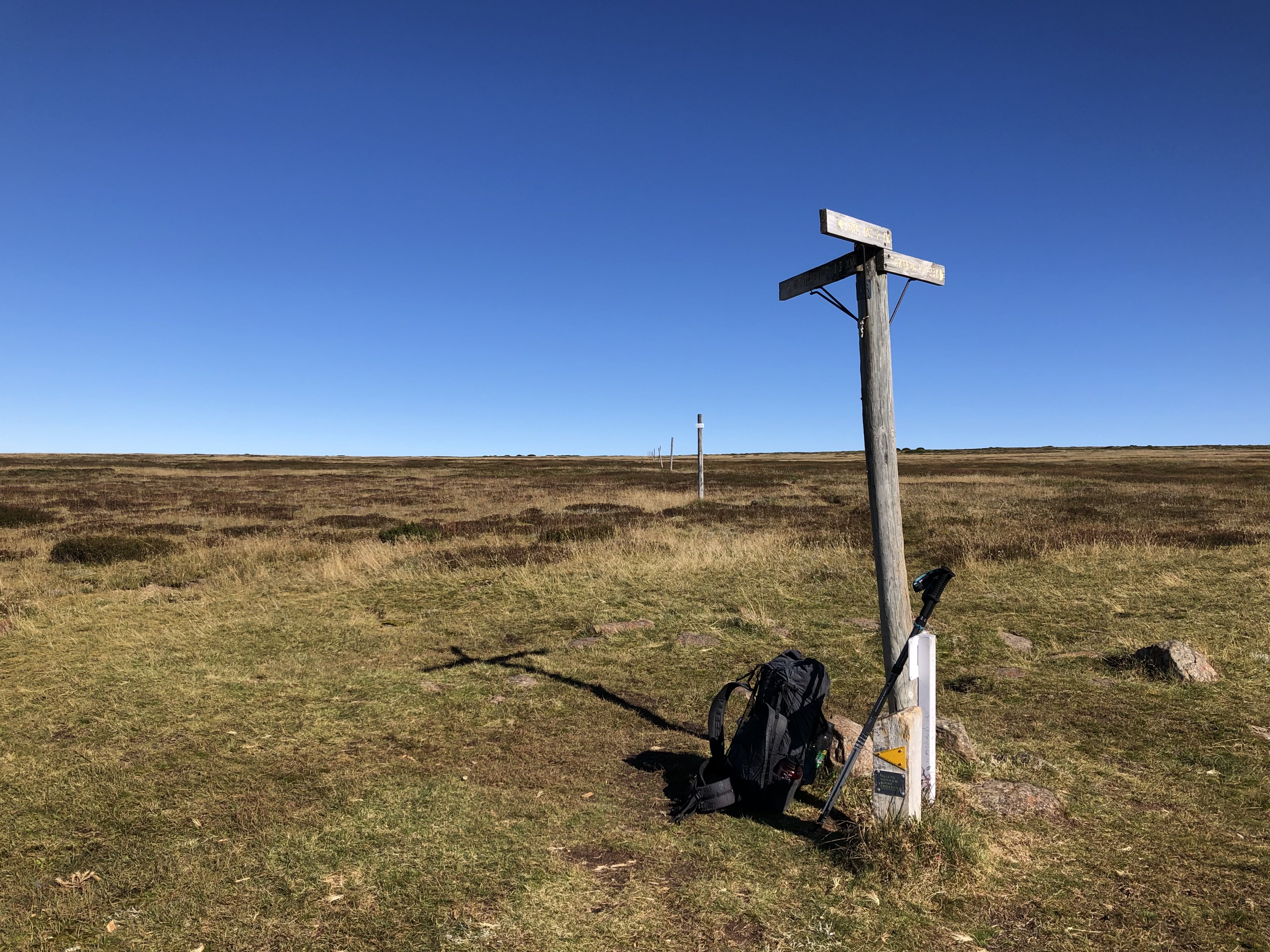
March 25 Freezing cold morning, not surprising as I was up at 1658 metres. I continued across the plateau to Pole 333, a big track junction, seeing several little peaks; an illusion that they were little because I was already so high. On this bright sunny day the junction scene could equally have been in the desert.
Then I descended among snow gums to the Cobungra River and I could see buildings at Mt Hotham across the deep valley. On the way down I met two people marking the route for the Falls to Hotham walking event tomorrow with hundreds of walkers so I was pleased with my timing. I stopped at Dibbins Hut campsite for a break: lovely, in a grassy glade by the river with snow gums. I passed the old Dibbins Hut

and climbed Swindlers Spur among snow gums with grassy breaks. There were good views back to the Falls Creek range (even Mt Cope) and many other mountains. I was getting anxious to find some water and I went past my intended overnight stop (Derrick Hut) as there wasn’t any. On the edge of Mt Hotham resort area I found a tiny creek so I filled my bottles (with difficulty) and had a coffee. Next I toured the ski runs on my way to the summit of Mt Hotham (1858 m) and had a pleasant stroll with good views of Mt Feathertop and tiers of blue-tinted mountains.

(Along this stretch was the western end of the Falls to Hotham Alpine Crossing.) When I reached Diamantina Hut (which is right by the main road) I was disappointed to see there were roadworks by the hut but on the plus side there were unexpected portaloos. I found a nice spot to camp behind the hut where I was out of sight but had a view. It had been a hot day and I was tired. I watched the sun set over the mountains and went to bed. 20 kms
March 26 Time to separate from the AAWT and start on my return to Falls Creek. I headed out on the Razorback trail towards Mt Feathertop - along with a crowd, there were 15 cars at the trailhead when I left - a beautiful walk on an undulating ridge

with perfect mountain views including Mt Buffalo
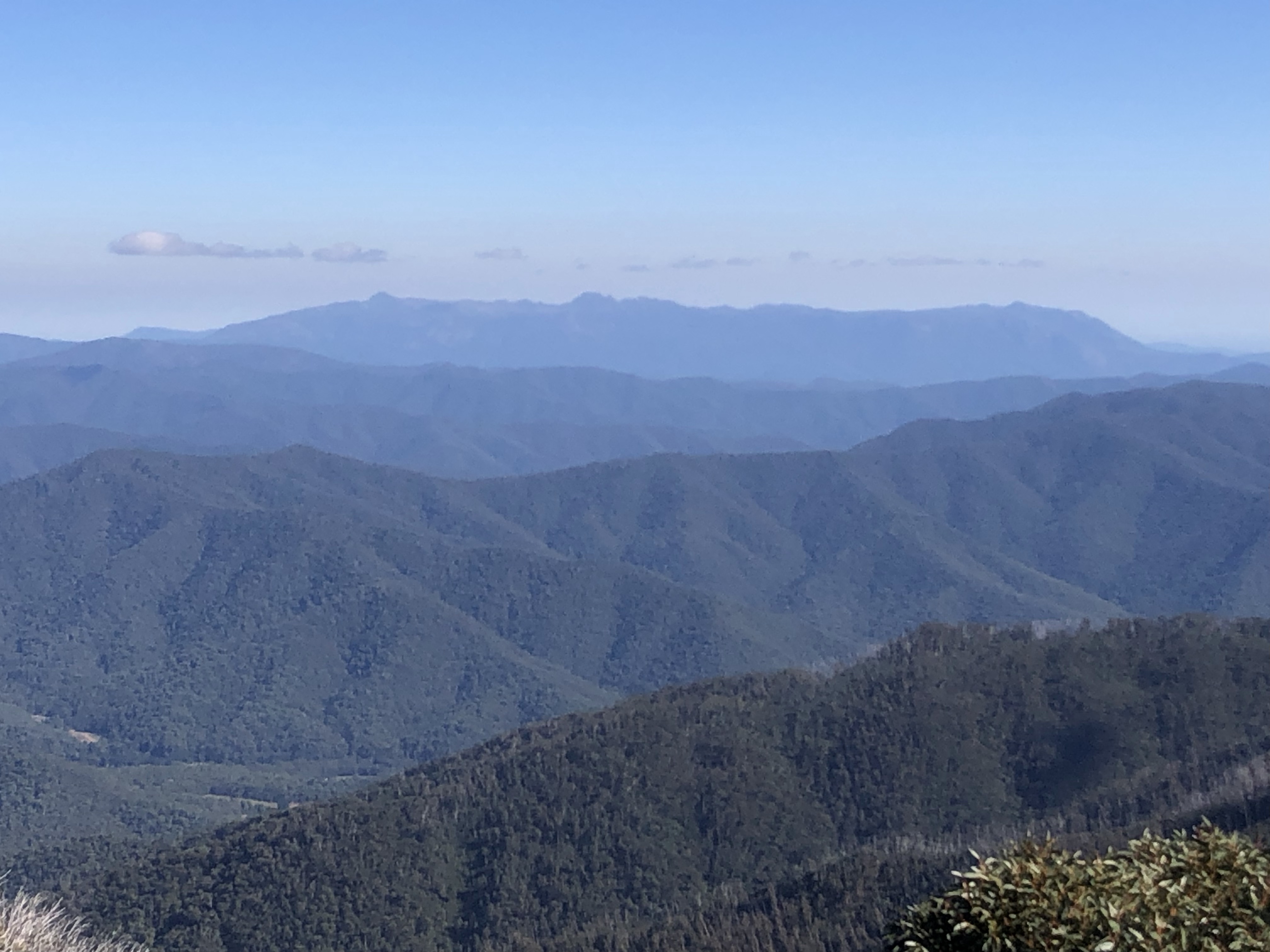
and the range across the Kiewa River valley, and back to Mt Hotham.
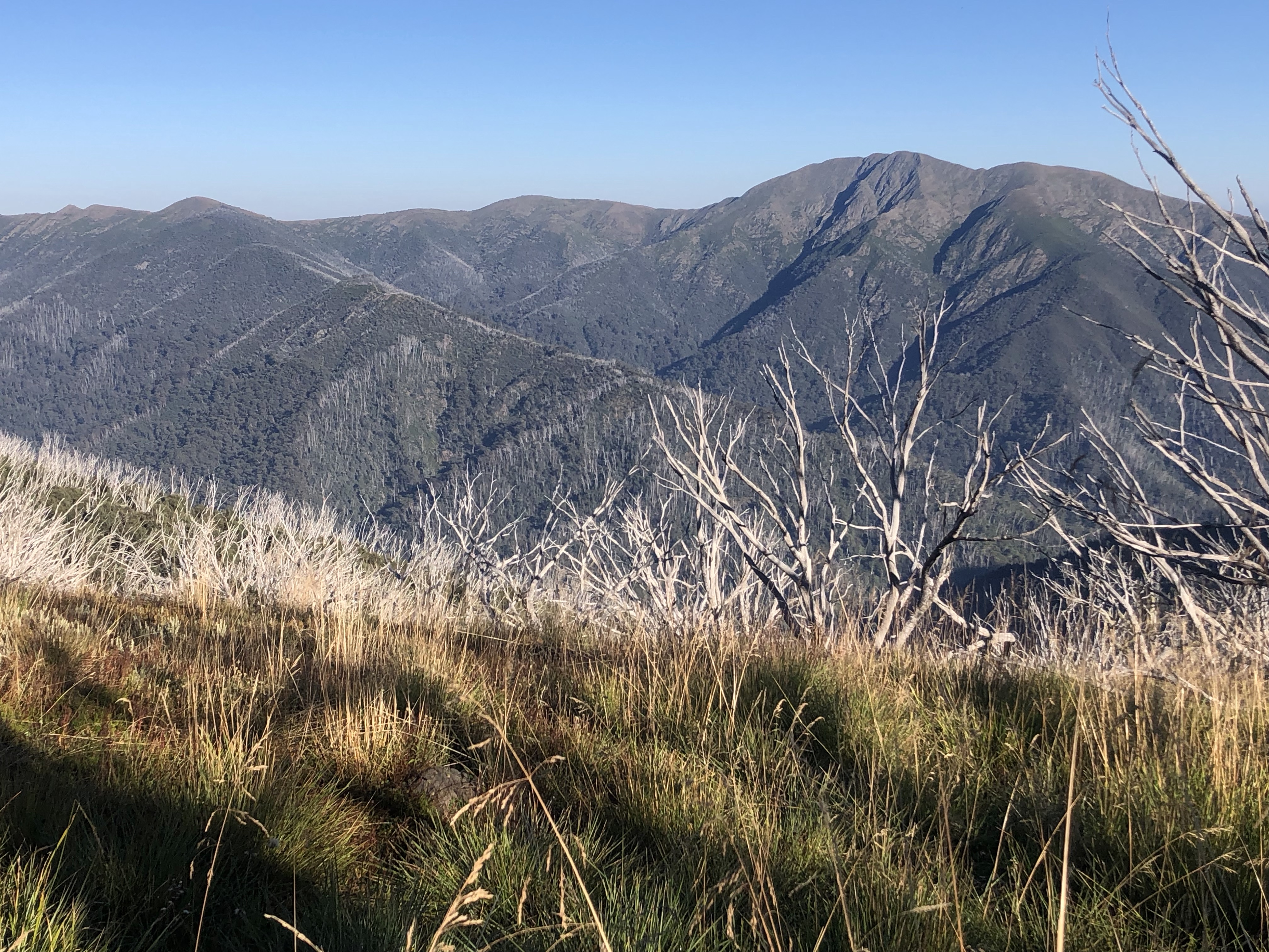
After a couple of hours I turned onto the Diamantina Spur to descend to the Kiewa River. I had been worried about this trail because it has a reputation for being rough and steep and I have a bad knee. It began innocently enough with some ridge top undulations among snow gums and then cleared to give a magnificent close up view of Mt Feathertop. I didn’t like to look the other way down into the valley and see how far down I had to go. I remained on the tops for a while and passed a guy I had also met yesterday who told me to be really careful on the trail. Soon the steep part came, and it was steep, and a few bits were hairy with sharp dropoffs but mostly it was fine if I went slowly. As I descended the vegetation changed markedly from alpine to ferns. I was delighted when I could hear the river and better still when I could see it but access was tricky until I came to a bridge across a tributary; I had lunch there by the water, the first water I’d seen since before Mt Hotham yesterday.
I went on to Blairs Hut, one of the original 100 year old cattlemen’s huts, in a large creekside clearing and then climbed an unrelenting 430 metres to Westons Hut in a tiny hillside clearing. The climb was in unburnt forest of towering eucalypts but the area around the hut had been burnt and the original hut burnt down in 2006. I plonked my tent right in front of the hut. 17.5 kms
March 27 It was still good weather but cooler. I continued to climb, getting views of Feathertop with the sun on its higher part and I could clearly see the spur I had come down,
and reached the treeless plateau. At Pole 333 I took the 4th trail (so I’ve used them all) and this turned out to be the best walking on the plateau with views of the Fainters and Mt Jaithmathang, a lot of burnt trees on their slopes, and Mt Bogong in the distance. I descended to Pretty Valley lake and had a break.
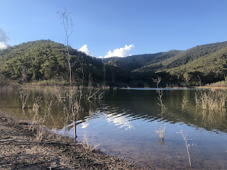
After that I had a long road walk with a nice view of Mt Mackay but sadly Pretty Valley is not so pretty any more as it’s full of dead trees. I walked high above Rocky Creek dam and then past lots of ski lifts, but avoided the main part of Falls Creek. I walked down a ski run on lovely soft grass and then went right beside the dam, crossing the dam wall to get to the Heathy Spur trail which is the start of the Falls to Hotham Alpine Crossing. I still needed to do this first bit.
I walked the Heathy Spur fast, climbing and crossing an almost treeless expanse of heaths with limited views. Then I slowly took the descent through snow gums, part way down stopping at a creek for a coffee break, emerging at the Langford aqueduct. As I walked along here I was in hot sunshine but I could see a strange grey sky and then I saw forked lightening around Mt Cope and heard thunder. I got to Langford hut then my car (and a school group) and decided to camp by the hut.
(I wasn’t intending to go all the way back to my car today and I had underestimated the distance, but I had no water left at the start of Heathy Spur so in order to camp I at least had to walk until I reached a water source, and by the time I got to the first creek I was almost at the car.) 27 kms